Maps
Online and Offline maps for your Outdoor activities
Online and Offline maps for your Outdoor activities
You can use some Online maps with different styles for outdoor purposes. There are special maps for biking, hiking with or without contour lines and hillshading. Some maps are available world wide, some only regional. You can import your favorite online map as user defined map.
A big advantage of offline maps is the ability to have a detailed map always on your phone - having online access or not. Import OSM vector map files (Mapsforge format) from nearly all regions of the world. There are many sources of good mapfiles, some have contour lines too.
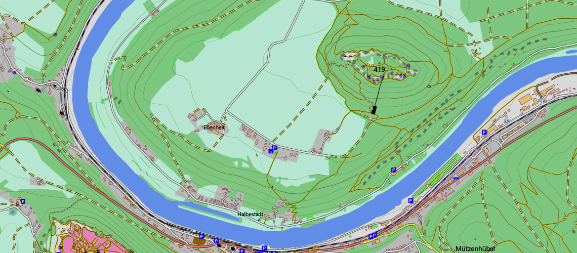
There are special designed bitmap raster maps, scanned or produced with mapping software. You can import bitmap raster map files with the GEMF-format (.gemf). The map tiles can be highres map tiles.
The map can be zoomed deeper than the map provider has map tiles or the imported bitmap raster map provides map tiles. The map tiles are getting digital zoomed (scaled). The overzoom allows magnifications of 200%, 300% and beyond.
You can import bitmap raster maps with high resolution map tiles having 512x512 or 768x768 pixels. Together with the overzoom feature, this reduces the need to store map tiles for deeper zoom levels. This reduces the overall file size knowing that each map tile needs more space. The next advantage is the better quality of the map on highres displays the smartphones have today.
You can insert your own map provider settings as user defined maps and use them like the other maps.
There are some ready made OSM vector map files of nearly all countrys and regions for free.
Create your own bitmap raster maps of your desired hiking region. You can use some mapping tools to create this map files, e.g. Mobac or Maperitive. Here are some short HowTo's.